Longmire
Gems in Longmire - 3
Trail Run Project is built by runners like you. Add Your Gems
Recommended Routes in Longmire - 8
Trail Run Project is built by runners like you. Add Your Recommended Routes


Wonderland Trail
88.3 mi 142.1 km • 24,023' Up 7322.32 m Up • 24,032' Down 7324.93 m Down


 Eatonville, WA

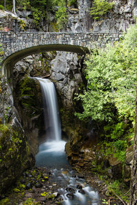
Comet Falls and Van Trump Park
5.1 mi 8.3 km • 2,180' Up 664.36 m Up • 2,179' Down 664.26 m Down


 Eatonville, WA

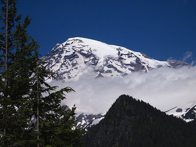
Indian Henry's Hunting Ground via Longmire Trail
13.2 mi 21.3 km • 3,316' Up 1010.65 m Up • 3,316' Down 1010.63 m Down


 Eatonville, WA

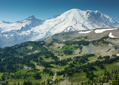
Lake George and Gobblers Knob
12.0 mi 19.3 km • 2,565' Up 781.87 m Up • 2,565' Down 781.83 m Down


 Eatonville, WA

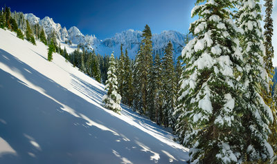
Eagle Peak
6.7 mi 10.8 km • 2,910' Up 886.82 m Up • 2,910' Down 886.83 m Down


 Eatonville, WA

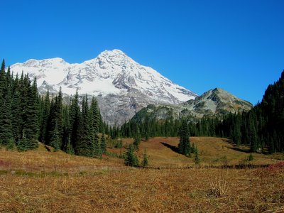
Indian Henry's Hunting Ground via Kautz Creek
11.1 mi 17.9 km • 3,472' Up 1058.3 m Up • 3,471' Down 1058.01 m Down


 Eatonville, WA
Longmire Running
- 18 Miles 29 Kilometers of Trail
- 8 Recommended Routes
- 3 Gems
- 3
Easy Trails
- 3
Intermediate Trails
- 9
Difficult Trails
Weather Averages
|
High
|
Low
|
Precip
|
Days w/
|
| J | F | M | A | M | J | J | A | S | O | N | D |
Trails in Longmire - 7
Trail Run Project is built by runners like you. Add Your Trails
|
2.8
mi
4.5
km
#1Comet Falls Trail
Eatonville, WA


|
Eatonville, WA |
15


|
||
|
0.3
mi
0.5
km
#2Twin Firs Loop Trail
Eatonville, WA


|
Eatonville, WA |
5


|
||
|
5.2
mi
8.4
km
#3Rampart Ridge
Eatonville, WA


|
Eatonville, WA |
17


|
||
|
0.7
mi
1.1
km
#4Trail of the Shadows
Eatonville, WA


|
Eatonville, WA |
11


|
||
|
8.8
mi
14.2
km
#5Westside Road
Eatonville, WA


|
Eatonville, WA |
1


|
Photos of Longmire - 35
Trail Run Project is built by runners like you. Add Your Photos

 Continue with onX Maps
 Sign in with Facebook


 Particularly Special Place


