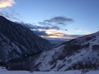
Wasatch National Forest - West
Gems in Wasatch National Forest - West - 1
Trail Run Project is built by runners like you. Add Your Gems
Recommended Routes in Wasatch National Forest - West - 7
Trail Run Project is built by runners like you. Add Your Recommended Routes


Mt. Olympus Trail
6.7 mi 10.7 km • 4,130' Up 1258.75 m Up • 4,127' Down 1258.02 m Down


 Holladay, UT


Desolation Trail to Salt Lake Overlook
4.4 mi 7.0 km • 1,232' Up 375.55 m Up • 1,231' Down 375.32 m Down


 Mount O…, UT


Pipeline Trail: Burch Hollow, Millcreek Canyon
9.3 mi 15.0 km • 275' Up 83.8 m Up • 275' Down 83.85 m Down


 Mount O…, UT


Adam's Canyon Trail
3.6 mi 5.8 km • 1,339' Up 408.05 m Up • 1,338' Down 407.94 m Down


 Fruit H…, UT


BoSho from Adams to Fernwood and Kaysville Wildeness Park
8.2 mi 13.2 km • 905' Up 275.91 m Up • 905' Down 275.93 m Down


 Fruit H…, UT
Wasatch National Forest - West Running
- 183 Miles 295 Kilometers of Trail
- 7 Recommended Routes
- 1 Gem
- 1
Easy Trail
- 36
Intermediate Trails
- 23
Difficult Trails
Areas Within Wasatch National Forest - West
Weather Averages
|
High
|
Low
|
Precip
|
Days w/
|
| J | F | M | A | M | J | J | A | S | O | N | D |
Trails in Wasatch National Forest - West - 53
Trail Run Project is built by runners like you. Add Your Trails
|
2.9
mi
4.7
km
#1Grandeur Peak Trail
Mount Olympus, UT


|
Mount Olympus, UT |
35


|
||
|
1.7
mi
2.8
km
#2Bonnevile Shorline Trail: Adams to Kayville Wilderness Park
Fruit Heights, UT


|
Fruit Heights, UT |
2


|
||
|
8.8
mi
14.2
km
#3GWT: I-84 to Francis Peak
South Weber, UT


|
South Weber, UT |
1


|
||
|
2.9
mi
4.7
km
#4Great Western Trail: Sessions Mountians Segment
Bountiful, UT


|
Bountiful, UT |
1


|
||
|
1.0
mi
1.6
km
#5Holbrook Canyon Spur Trail
Bountiful, UT


|
Bountiful, UT |
1


|
||
|
1.7
mi
2.7
km
#6Mount Aire Trail #017
Mount Olympus, UT


|
Mount Olympus, UT |
7


|
||
|
3.8
mi
6.2
km
#7Mill B North Fork Trail
Cottonwood Heights, UT


|
Cottonwood Heights, UT |
5


|
||
|
7.1
mi
11.4
km
#8Pipeline Trail
Mount Olympus, UT


|
Mount Olympus, UT |
12


|
||
|
2.7
mi
4.3
km
#9Mill Creek Terraces
Mount Olympus, UT


|
Mount Olympus, UT |
11


|
||
|
4.5
mi
7.3
km
#10Neffs Canyon Trail
Mount Olympus, UT


|
Mount Olympus, UT |
7


|
Photos of Wasatch National Forest - West - 350
Trail Run Project is built by runners like you. Add Your Photos

 Continue with onX Maps
 Sign in with Facebook


 Particularly Special Place


 No Photos


